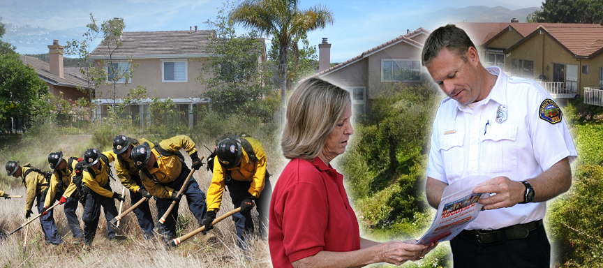
The destructive impacts of wildfire can be greatly reduced through focused wildfire prevention activities long before a fire starts.
Consequently, through collaborative partnerships with the communities we serve, OCFA's Pre-Fire Management section focuses on:
- Ensuring that defensible space is maintained
- Encouraging the planting and maintaining of drought tolerant and fire resistive landscaping
- Creates and maintains fuel breaks and fire access roads
- Effectively manages Orange County's State Responsibility Areas and open space lands
General Information
For questions regarding:
For additional information, please visit Ready, Set, Go!
Schedule a "Free Home Assessment"
An OCFA Fire Prevention Specialist will suggest landscaping tips and exterior construction features to make your home more wildfire resistant.
Hazardous Vegetation Concerns
To report a hazardous vegetation concern, please provide the following:
- Your Name, Address & Phone Number
- Problem - Brief description and the location
Submit By Email (rsgoc@ocfa.org)
Submit By Phone: (714) 573-6774
Resources
For important wildfire preparedness and safety information, please visit OCFA's Ready, Set, Go! page
Background
Fire Hazard Severity Zone (FHSZ) maps are created by the California Department of Forestry and Fire Protection (Cal Fire) to identify areas where a wildfire is more likely to occur. Scientific models are used to geographically identify FHSZ's through an analysis of factors, such as:
- Predominant vegetation type (vegetation is the fuel for a wildfire)
- Terrain (severity of slopes)
- Fire history (past fires are good predictors of future fires)
- Weather patterns (high winds, low humidity, and high temperatures contribute to fire severity)
The maps are updated periodically.
We encourage you to visit Ready, Set, Go! to find out more about the natural wildfire hazards that exist in Orange County, and what you can do to protect you, your family, home and community before, and during an emergency.
How To Use The Map
FHSZ maps help homeowners, builders, and design and construction professionals determine which exterior wildfire-related construction standards, found within the California Building Code and California Residential Code, apply to their residential or commercial construction projects.
The map includes both FHSZ's that were adopted by the City or County, as well as "Recommended FHSZ's", which are areas that have not been specifically adopted or required by the City or County, but are provided to help you make informed decisions as to the value of voluntarily incorporating some or all of the wildfire exposure construction features into your project, even if they are not required.
This map is most helpful when used in conjunction with other commercially available maps, such as Google Maps or Map Quest, to determine the exact location of your project. Follow these steps to help determine what's required for your project:
- Click on the map below within the City or unincorporated County area that is applicable to your project
- Use the "Zoom Tool" to find its exact location to determine if it's located in an area subject to enhanced building construction standards
- The shading and any noted instructions will indicate what is required
If your project involves the construction of a new building, and is located in one of these areas, you must implement wildfire exposure construction features. If you are remodeling an existing building, the requirements generally will not apply to your project. However, adding wildfire exposure construction features voluntarily will improve your property's ability to survive a wildfire. Ignition resistant construction features, include:
- Exterior Walls
- Windows
- Roofs
- Doors
- Eaves
- Vents (designed to prevent flames and embers from entering attic spaces)
Always contact your local City or County Building Department staff to determine which requirements apply to your project.
Note: Maps may take a few minutes to load due to the large size of the map files.
Click on region within the map for more information